Capabilities of ArcGIS
ArcGIS provides world-leading capabilities for creating, managing, analysing, mapping, and sharing all types of data.
A dynamic set of geospatial capabilities
Mapping, analytics, and data management are central to ArcGIS. Additional capabilities enable specific workflows, amplifying and scaling impact. Capabilities combine within ArcGIS to form a comprehensive geospatial platform, helping users understand and solve complex problems.
Explore our technology capabilities and see how they can help your business


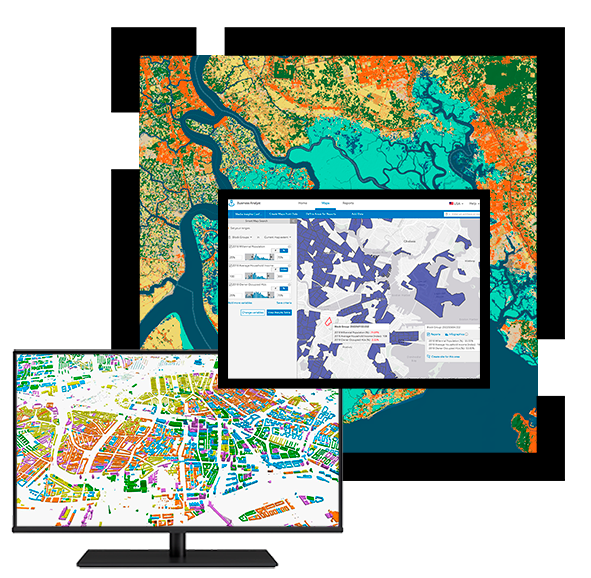
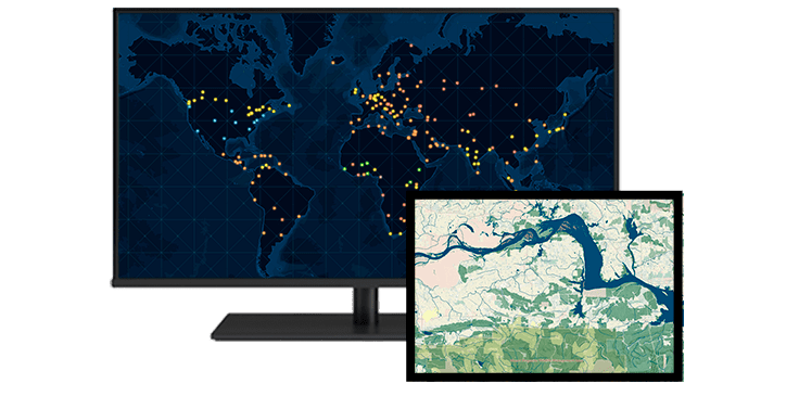
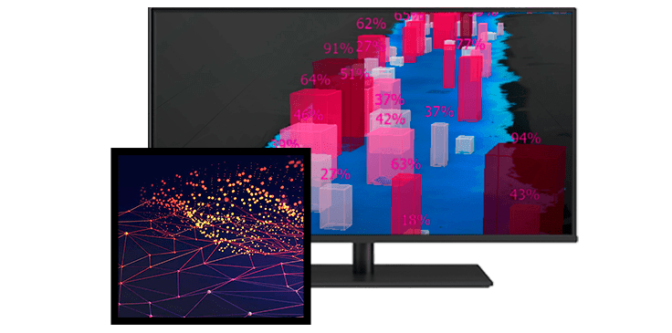
Mapping and Visualisation
Create interactive maps to visualise and explore your data using our dynamic mapping software and advanced bespoke solutions. Powerful analysis tools and map styles help you discover and refine your data’s story. Enrich your maps by incorporating content from our rich data library and data offerings. Use custom symbols and basemaps along with smart mapping to personalise your maps and share engaging maps that tell your data’s story and influence change.
Our technology will help you:
Data Management
Data management is the practice of collecting, storing, and using data securely and efficiently, helping organisations make informed decisions. From imagery to 3D, real-time, and unstructured data, the volume and types of data are constantly increasing. ArcGIS is at the centre of data management workflows, enabling you to better collect, store, maintain, prepare, and share your data. Whether it’s customer data, environmental data, sensor data, or raw data, you can organize it from anywhere with ArcGIS, empowering your team to make strategic decisions and enhancing productivity across your organisation.
Our technology will help you:
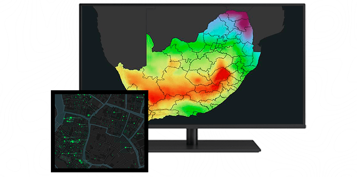
Spatial Analysis and Data Science
Spatial analytics uses location as a connective thread to help you understand how the environment around you affects the challenges you’re finding solutions for—whether that is climate change, customer behaviour, or resource allocation. By examining data in relation to its geographic location, you can reveal unexplored spatial patterns, trends, and connections. It’s these essential discoveries that often explain the “why” behind many of today’s most pressing environmental and business questions.
Our technology supports the full data science workflow, including tooling for:
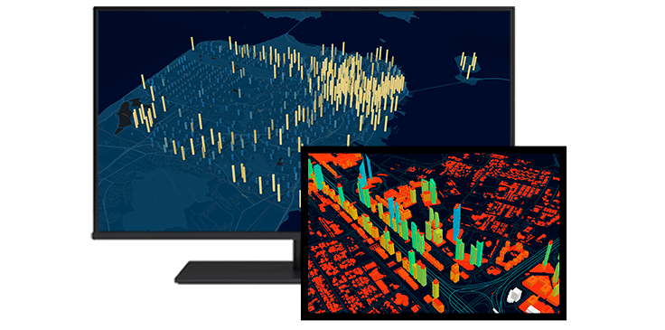
Imagery and Remote Sensing
Imagery is at the forefront of an information revolution. In business, government, science, and research, global imagery powers visibility into operations and opportunities. Now, drones, crewed aircraft, and satellites capture more imagery than ever, creating a near real-time picture of our entire planet. With imagery and GIS combined in a geospatial technology system, you can unpack more information from every pixel—and transform static images into dynamic digital representations of our world.
Our technology supports:
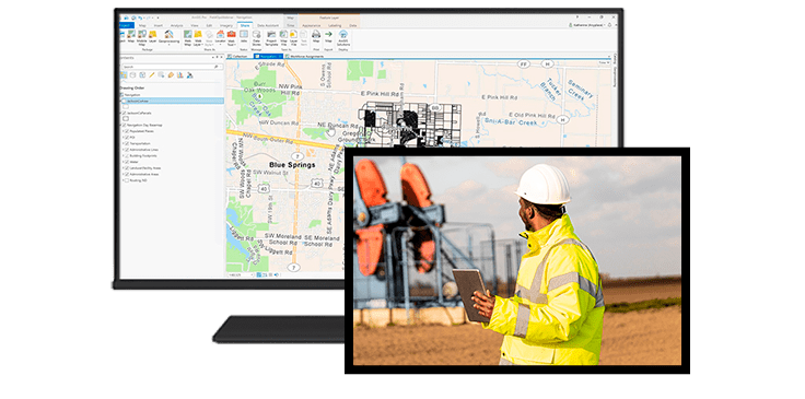
Field Operations
The power of location improves coordination and efficiency in field operations. Use our native, platform independent field apps to reduce or even replace reliance on paper. Improve the data accuracy of field assets through purpose-built data collection apps. Ensure that field and office staff use the same authoritative data to reduce errors, boost productivity, and save money.
Our technology will help you:
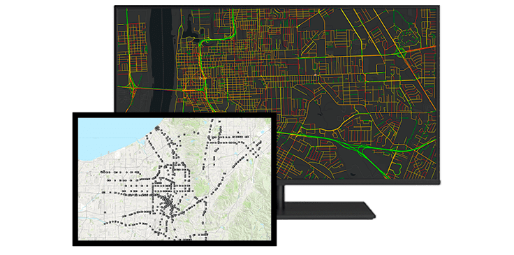
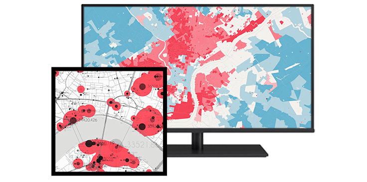
Real Time Visualisation and Analytics
Tap into the Internet of Things (IoT) to analyse and display real-time data from sensors, devices, and social media feeds. Understand and discover the hidden patterns and trends in your massive datasets by applying spatiotemporal analytics that utilise distributed computing. Gain situational awareness from your streaming data whether you are tracking moving assets or stationary sensors using location-powered analytic tools. Focus on every event that matters most to you with real-time monitoring and big data analytics so you can make the right decision at the right time.
Our technology will help you:
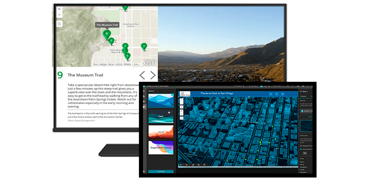
No-code/Low-code Platform
Create apps that enable your audience to not only view your map but also interact with the data. Choose from a variety of focused app templates and create an app in just a few clicks. Include them on your website using the convenient embed code. Each app has a specific purpose to help tell your story and keep your audience engaged. Extend and enhance your app experience with fine-grained controls over data, behaviour, styles and more.
Our technology offers you:
GeoAI
Geospatial artificial intelligence (GeoAI) is the application of artificial intelligence (AI) fused with geospatial data, science, and technology to accelerate real-world understanding of business opportunities, environmental impacts, and operational risks. Organisations are modernising operations to run at scale through automated data generation and approachable spatial tools and algorithms.
Our technology will help you: