USER STORY
Farming with a difference
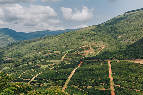
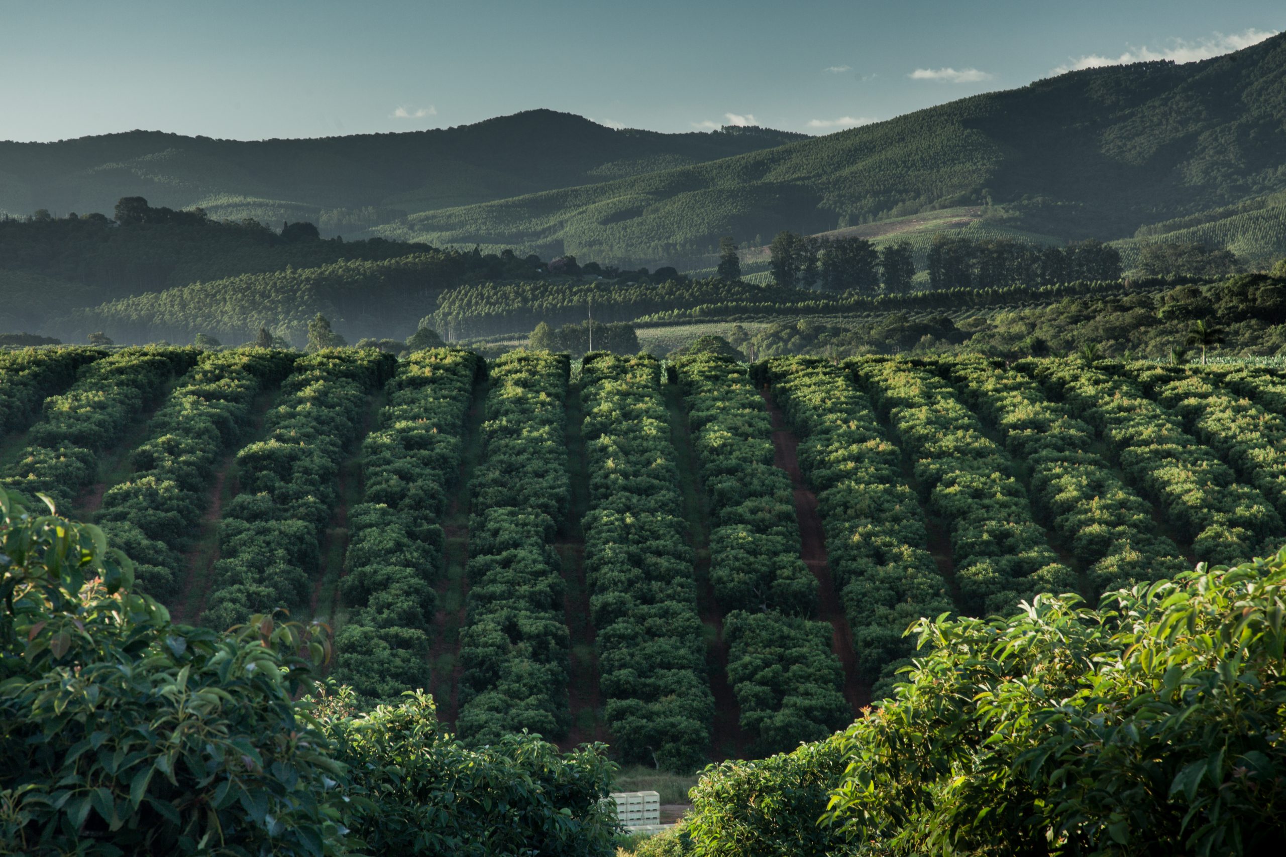
ZZ2, a private farming operation based in the Limpopo Province in South Africa, provides South Africans with healthy and affordable food every day of the year. As the largest tomato producer in the Southern hemisphere, ZZ2 also exports high value produce all over the world.
A passion for farming is what drives ZZ2’s offering of quality and healthy food. More than two decades ago ZZ2 steered away from relying solely on conventional farming methods in order to implement a system that is efficient and scalable but also in harmony with nature, a philosophy known as NatuurboerderyⓇ. This, however, resulted in numerous challenges with regards to water management, nature conservation, sustainable farming and soil ecosystems. One way of managing and addressing some of these challenges was by making use of geospatial solutions.
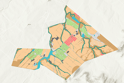
ZZ2 has been using Geographic Information Systems (GIS) software since 2007 and implemented the ArcGIS system as a tool to optimise production of crops by identifying the areas that will be cultivated for that specific season. The team also uses ArcGIS to create maps for audits that are required in order to export products and the software adds value to their environmental research, field design and engineering services.
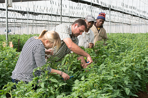
GIS is a tool and a science used to analyse, interpret and explore spatial data to better understand and manage systems and resources. At ZZ2, GIS Systems are used to gain knowledge of soil, water, energy and environmental resources in order to develop sustainability. Customers’ need for healthy and affordable food produced in a socially responsible and environmentally conscious way is taken very seriously – employing amongst others ArcGIS software to achieve this!
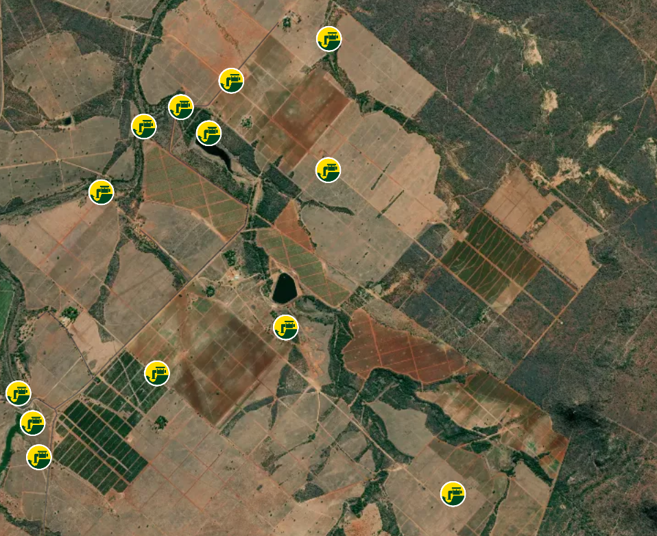
Having a holistic view of the farm visually on a map, assists with understanding where various elements are located in relation to each other, allowing for informed decision making. ArcGIS is applied to identify and understand the soil that is cultivated. Working in cooperation with Agri Technovation, the ArcGIS system assists with mapping and spatially identifying the soil class and chemical composition In addition to this, various spatially aware mobile applications have been developed that leverages this spatially focused data.
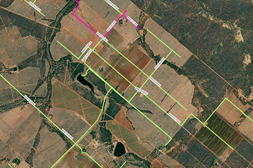
Risk management and planning are done by processing LIDAR data to analyse the landscape for the identification of slopes, natural stormwater run-off and areas that are optimal or less suitable for cultivation. Understanding where the farm assets are, i.e. pipelines, powerlines, dams, boreholes, and transformers also contributes to better farm management. All this information is stored in a central database that allows users at ZZ2 to access, edit, analyse and display the data on a map.
Whether you are managing the earth’s resources or your field, ArcGIS software enables you to streamline workflows and maximize productivity. Spatial insights reveal patterns and trends, enabling ZZ2 to continue producing high quality food for their community and customers.
For more information contact [email protected]
